Quayside Brockweir
Introduction
The photograph on this page of Quayside Brockweir by Jaggery as part of the Geograph project.
The Geograph project started in 2005 with the aim of publishing, organising and preserving representative images for every square kilometre of Great Britain, Ireland and the Isle of Man.

There are currently over 7.5m images from over 14,400 individuals and you can help contribute to the project by visiting https://www.geograph.org.uk
Quayside Brockweir
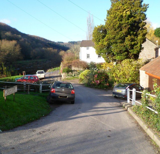
Image: © Jaggery Taken: 27 Nov 2011
Located on the east bank of the River Wye. Now a residential no through road, Quayside http://www.geograph.org.uk/photo/3580066 was formerly the main focus of work in the village.
Images are licensed for reuse under creativecommons.org/licenses/by-sa/2.0
Image Location
Latitude
51.70745
Longitude
-2.66885