Barley field between the old and new A29
Introduction
The photograph on this page of Barley field between the old and new A29 by Dave Spicer as part of the Geograph project.
The Geograph project started in 2005 with the aim of publishing, organising and preserving representative images for every square kilometre of Great Britain, Ireland and the Isle of Man.

There are currently over 7.5m images from over 14,400 individuals and you can help contribute to the project by visiting https://www.geograph.org.uk
Barley field between the old and new A29
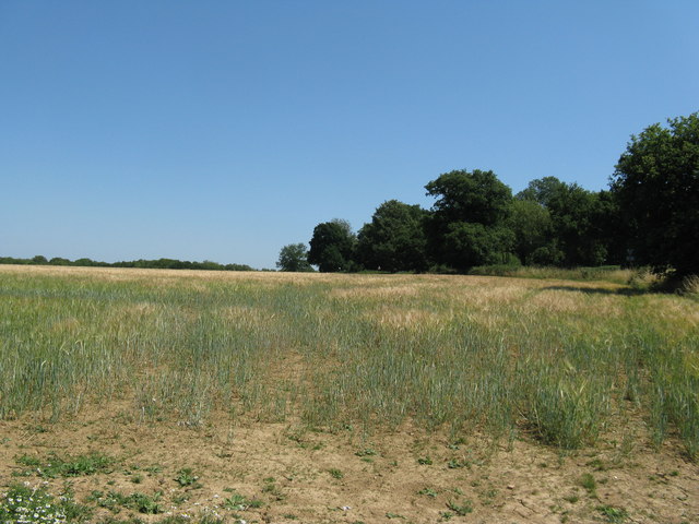
Image: © Dave Spicer Taken: 1 Aug 2013
On the 1940's OS map the old A29 followed the path of the tree line, now it runs on the left side of the field. I'm not sure when the changes were made.
Images are licensed for reuse under creativecommons.org/licenses/by-sa/2.0
Image Location
Latitude
51.108784
Longitude
-0.363934