Junction on A390
Introduction
The photograph on this page of Junction on A390 by Derek Harper as part of the Geograph project.
The Geograph project started in 2005 with the aim of publishing, organising and preserving representative images for every square kilometre of Great Britain, Ireland and the Isle of Man.

There are currently over 7.5m images from over 14,400 individuals and you can help contribute to the project by visiting https://www.geograph.org.uk
Junction on A390
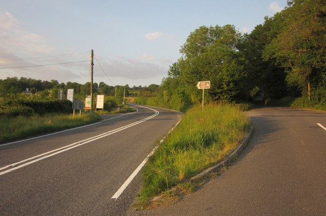
Image: © Derek Harper Taken: 7 Jun 2013
The old road on the right keeps straight up the hillside, providing a shorter route than the main road, which describes huge bends. This means that, if you fancy a quiet alternative to the A390 along a narrow country lane, you are tailgated by impatient drivers trying to beat traffic on the main road who can't believe that you are not doing the same. The brown sign points to the Tamar Trails Centre, off to the left along with the Tavistock Sawmills.
Images are licensed for reuse under creativecommons.org/licenses/by-sa/2.0
Image Location


Leaflet Map data © OpenStreetMap
Latitude
50.529995
Longitude
-4.201856