The Sneyd Arms
Introduction
The photograph on this page of The Sneyd Arms by David Weston as part of the Geograph project.
The Geograph project started in 2005 with the aim of publishing, organising and preserving representative images for every square kilometre of Great Britain, Ireland and the Isle of Man.

There are currently over 7.5m images from over 14,400 individuals and you can help contribute to the project by visiting https://www.geograph.org.uk
The Sneyd Arms
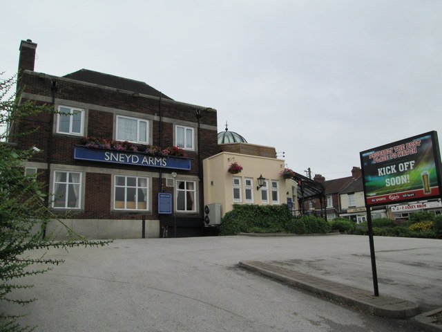
Image: © David Weston Taken: 1 Aug 2013
In Sneyd Green; seen from Hanley Road, part of the A5272. On the right of the photo is Milton Road.
Images are licensed for reuse under creativecommons.org/licenses/by-sa/2.0
Image Location
Latitude
53.040221
Longitude
-2.169534