Capel Y Maen
Introduction
The photograph on this page of Capel Y Maen by Adrian Dust as part of the Geograph project.
The Geograph project started in 2005 with the aim of publishing, organising and preserving representative images for every square kilometre of Great Britain, Ireland and the Isle of Man.

There are currently over 7.5m images from over 14,400 individuals and you can help contribute to the project by visiting https://www.geograph.org.uk
Capel Y Maen
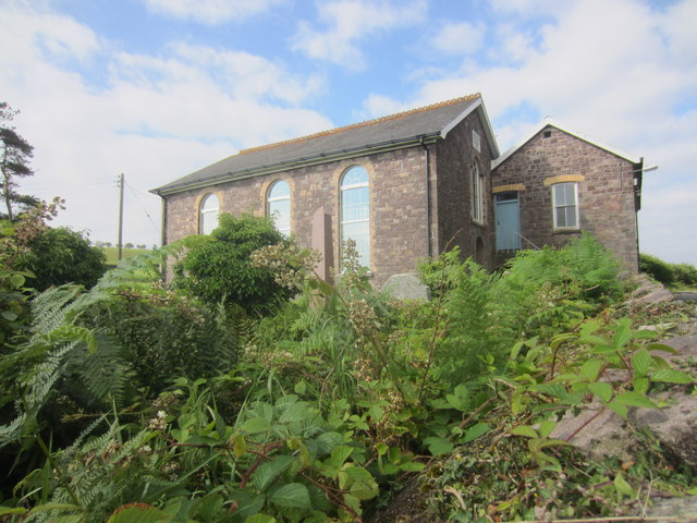
Image: © Adrian Dust Taken: 1 Aug 2013
There is an OS cut mark on the NE face. http://www.geograph.org.uk/photo/3579177
Images are licensed for reuse under creativecommons.org/licenses/by-sa/2.0
Image Location
Latitude
51.873892
Longitude
-3.89617