The Farmers Inn, Brafferton
Introduction
The photograph on this page of The Farmers Inn, Brafferton by Gordon Hatton as part of the Geograph project.
The Geograph project started in 2005 with the aim of publishing, organising and preserving representative images for every square kilometre of Great Britain, Ireland and the Isle of Man.

There are currently over 7.5m images from over 14,400 individuals and you can help contribute to the project by visiting https://www.geograph.org.uk
The Farmers Inn, Brafferton
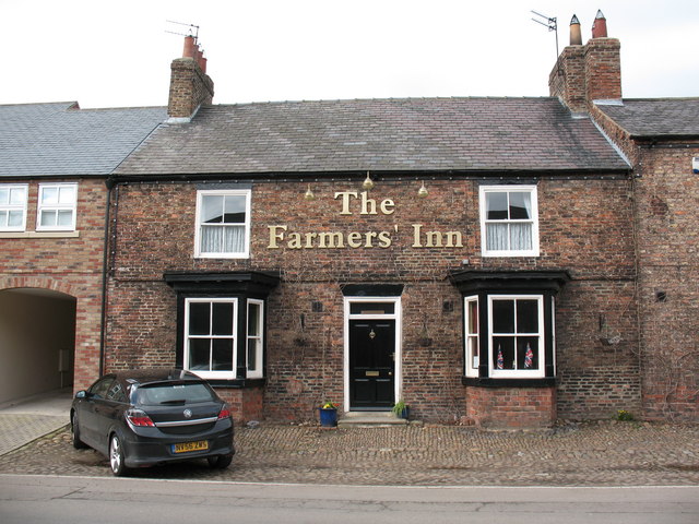
Image: © Gordon Hatton Taken: 7 Mar 2007
Brafferton and Helperby are ideal places for a pub crawl with 4 inns to choose from and a good selection of ales; but where does Brafferton end and Helperby begin? In this picture, the pub is in Brafferton and the photographer is in Helperby as the parish boundary runs down the centre of the street. The pub is now closed and for sale. [Dec 2009] Update 2020: Any pub crawl around Brafferton/Helperby has now reduced to two hostelries as both this one and the Half Moon towards the southern end of Helperby Main Street have now gone.
Images are licensed for reuse under creativecommons.org/licenses/by-sa/2.0
Image Location
Latitude
54.124988
Longitude
-1.330998