Path through churchyard, St Dominick
Introduction
The photograph on this page of Path through churchyard, St Dominick by Derek Harper as part of the Geograph project.
The Geograph project started in 2005 with the aim of publishing, organising and preserving representative images for every square kilometre of Great Britain, Ireland and the Isle of Man.

There are currently over 7.5m images from over 14,400 individuals and you can help contribute to the project by visiting https://www.geograph.org.uk
Path through churchyard, St Dominick
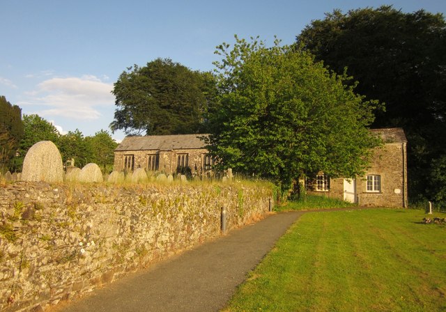
Image: © Derek Harper Taken: 7 Jun 2013
To the right of the tree is the listed Sunday School, described at http://list.english-heritage.org.uk/resultsingle.aspx?uid=1140176&searchtype=mapsearch . The church of St Dominica, partly seen on the left, is described at http://list.english-heritage.org.uk/resultsingle.aspx?uid=1158849&searchtype=mapsearch .
Images are licensed for reuse under creativecommons.org/licenses/by-sa/2.0
Image Location
Latitude
50.488518
Longitude
-4.258858