Childwick Bury parkland
Introduction
The photograph on this page of Childwick Bury parkland by Ian Capper as part of the Geograph project.
The Geograph project started in 2005 with the aim of publishing, organising and preserving representative images for every square kilometre of Great Britain, Ireland and the Isle of Man.

There are currently over 7.5m images from over 14,400 individuals and you can help contribute to the project by visiting https://www.geograph.org.uk
Childwick Bury parkland
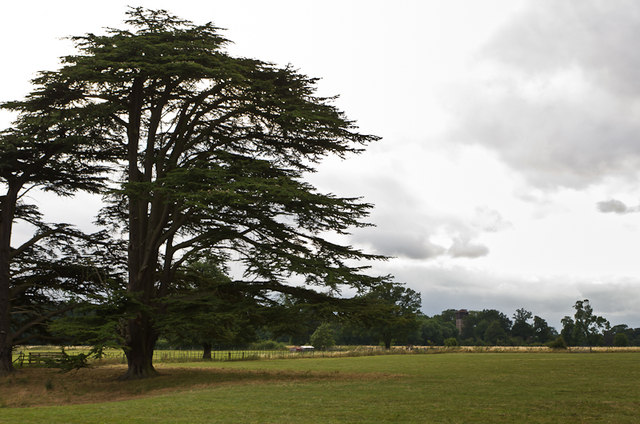
Image: © Ian Capper Taken: 31 Jul 2013
An impressive Cedar of Lebanon in parkland on the Childwick Bury estate. In the background is an unusual water tower.
Images are licensed for reuse under creativecommons.org/licenses/by-sa/2.0
Image Location
Latitude
51.780021
Longitude
-0.351902