The King's Hall
Introduction
The photograph on this page of The King's Hall by Peter Barr as part of the Geograph project.
The Geograph project started in 2005 with the aim of publishing, organising and preserving representative images for every square kilometre of Great Britain, Ireland and the Isle of Man.

There are currently over 7.5m images from over 14,400 individuals and you can help contribute to the project by visiting https://www.geograph.org.uk
The King's Hall
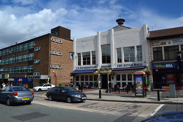
Image: © Peter Barr Taken: 30 Jul 2012
A JD Wetherspoon Free House, a building with the date 1937. On Station Road, the A5149.
Images are licensed for reuse under creativecommons.org/licenses/by-sa/2.0
Image Location
Latitude
53.377543
Longitude
-2.189512