Western boundary of Chipping Sodbury
Introduction
The photograph on this page of Western boundary of Chipping Sodbury by Jaggery as part of the Geograph project.
The Geograph project started in 2005 with the aim of publishing, organising and preserving representative images for every square kilometre of Great Britain, Ireland and the Isle of Man.

There are currently over 7.5m images from over 14,400 individuals and you can help contribute to the project by visiting https://www.geograph.org.uk
Western boundary of Chipping Sodbury
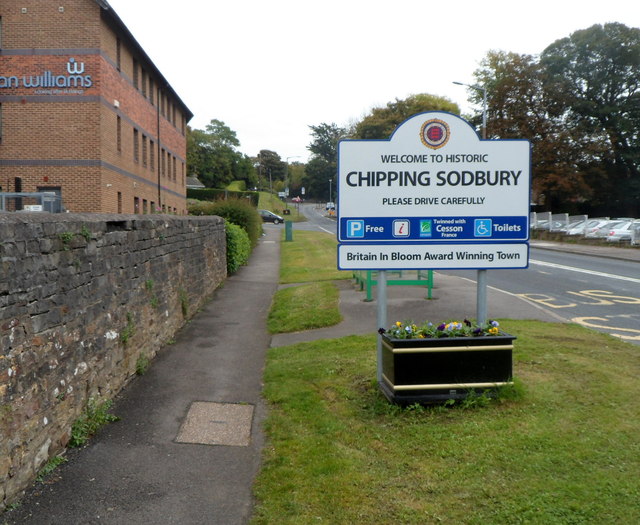
Image: © Jaggery Taken: 10 Oct 2012
The B4060 from Yate enters Chipping Sodbury, a market town in South Gloucestershire. The sign shows that Chipping Sodbury is a Britain in Bloom award winning town and is twinned with Cesson, France.
Images are licensed for reuse under creativecommons.org/licenses/by-sa/2.0
Image Location
Latitude
51.538553
Longitude
-2.401358