Road to The Nurtons B&B, Tintern
Introduction
The photograph on this page of Road to The Nurtons B&B, Tintern by Jaggery as part of the Geograph project.
The Geograph project started in 2005 with the aim of publishing, organising and preserving representative images for every square kilometre of Great Britain, Ireland and the Isle of Man.

There are currently over 7.5m images from over 14,400 individuals and you can help contribute to the project by visiting https://www.geograph.org.uk
Road to The Nurtons B&B, Tintern
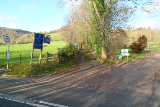
Image: © Jaggery Taken: 27 Nov 2011
Viewed across the A466 near the entrance http://www.geograph.org.uk/photo/3576785 to the Old Station. Ahead for The Nurtons Organic B&B or take the right fork for Medhope Farm Shop, Cottage and Garden.
Images are licensed for reuse under creativecommons.org/licenses/by-sa/2.0
Image Location
Latitude
51.702933
Longitude
-2.672545