The western edge of Harnham
Introduction
The photograph on this page of The western edge of Harnham by David Smith as part of the Geograph project.
The Geograph project started in 2005 with the aim of publishing, organising and preserving representative images for every square kilometre of Great Britain, Ireland and the Isle of Man.

There are currently over 7.5m images from over 14,400 individuals and you can help contribute to the project by visiting https://www.geograph.org.uk
The western edge of Harnham
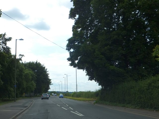
Image: © David Smith Taken: 26 Jun 2013
On the right, there is a sharp transition from housing to farmland; the track on the right leads to Waldron's Farm. On the left, housing abuts the business park.
Images are licensed for reuse under creativecommons.org/licenses/by-sa/2.0
Image Location
Latitude
51.061909
Longitude
-1.820008