Duncan Street Burial Ground
Introduction
The photograph on this page of Duncan Street Burial Ground by Lairich Rig as part of the Geograph project.
The Geograph project started in 2005 with the aim of publishing, organising and preserving representative images for every square kilometre of Great Britain, Ireland and the Isle of Man.

There are currently over 7.5m images from over 14,400 individuals and you can help contribute to the project by visiting https://www.geograph.org.uk
Duncan Street Burial Ground
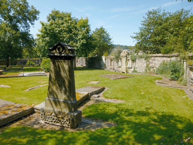
Image: © Lairich Rig Taken: 8 Jul 2013
This picture shows the eastern part of the burial ground. Click on the end-note title for other pictures taken within the ground. In addition, Thomas Nugent has eleven earlier pictures taken within this ground: http://www.geograph.org.uk/search.php?i=42932807 For example, http://www.geograph.org.uk/photo/2391766 shows the location of the original entrance to this ground from Duncan Street. Some time after that entrance was created, the street was levelled, but it was greatly lowered in the process; the entrance, which was left high and dry, too far above the new street level, was subsequently closed. To allow continued access to the Duncan Street burial ground, an opening – http://www.geograph.org.uk/photo/2391713 – was created between this ground and the adjacent (and earlier) Image (up to that time, the grounds had been quite separate, though neighbours).
Images are licensed for reuse under creativecommons.org/licenses/by-sa/2.0
Image Location


Leaflet Map data © OpenStreetMap
Latitude
55.946951
Longitude
-4.764922