Entrance to part of Kidderminster Golf Club course, Barnetts Lane, Kidderminster
Introduction
The photograph on this page of Entrance to part of Kidderminster Golf Club course, Barnetts Lane, Kidderminster by P L Chadwick as part of the Geograph project.
The Geograph project started in 2005 with the aim of publishing, organising and preserving representative images for every square kilometre of Great Britain, Ireland and the Isle of Man.

There are currently over 7.5m images from over 14,400 individuals and you can help contribute to the project by visiting https://www.geograph.org.uk
Entrance to part of Kidderminster Golf Club course, Barnetts Lane, Kidderminster
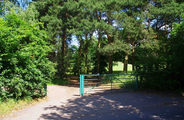
Image: © P L Chadwick Taken: 30 Jun 2013
Most of the club's golf course lies between Spennells Valley Road and Barnetts Lane. However about two of the course's eighteen holes are located between Barnetts Lane and Russell Road. The clubhouse is also in this area, near the end of Russell Road. This entrance is used by golfers playing on the course, but there is also a public footpath through here which turns immediately left by the hedge, and comes out on Chester Road South, which is part of the A449 road.
Images are licensed for reuse under creativecommons.org/licenses/by-sa/2.0
Image Location


Leaflet Map data © OpenStreetMap
Latitude
52.377839
Longitude
-2.237642