Broadpark Road, Livermead
Introduction
The photograph on this page of Broadpark Road, Livermead by Derek Harper as part of the Geograph project.
The Geograph project started in 2005 with the aim of publishing, organising and preserving representative images for every square kilometre of Great Britain, Ireland and the Isle of Man.

There are currently over 7.5m images from over 14,400 individuals and you can help contribute to the project by visiting https://www.geograph.org.uk
Broadpark Road, Livermead
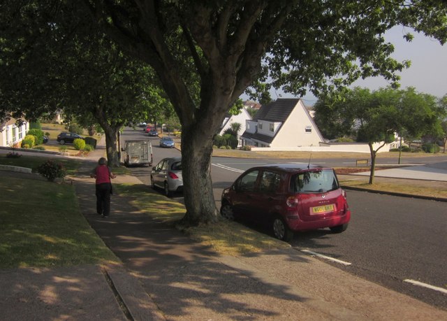
Image: © Derek Harper Taken: 21 Jul 2013
From the junction of Broadley Drive. On the right is the junction with the Old Paignton Road. Light and shade contrast overpoweringly.
Images are licensed for reuse under creativecommons.org/licenses/by-sa/2.0
Image Location
Latitude
50.45614
Longitude
-3.556848