The Haven, Thorpeness
Introduction
The photograph on this page of The Haven, Thorpeness by Ian Taylor as part of the Geograph project.
The Geograph project started in 2005 with the aim of publishing, organising and preserving representative images for every square kilometre of Great Britain, Ireland and the Isle of Man.

There are currently over 7.5m images from over 14,400 individuals and you can help contribute to the project by visiting https://www.geograph.org.uk
The Haven, Thorpeness
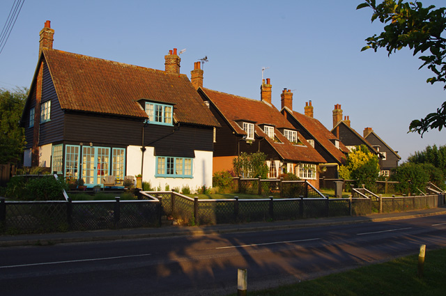
Image: © Ian Taylor Taken: 25 Jun 2013
These houses face the Meare - the remains of the natural harbour provided by the estuary of the Hundred River - the Haven.
Images are licensed for reuse under creativecommons.org/licenses/by-sa/2.0
Image Location
Latitude
52.179879
Longitude
1.6134