The Walk, Blaina
Introduction
The photograph on this page of The Walk, Blaina by Jaggery as part of the Geograph project.
The Geograph project started in 2005 with the aim of publishing, organising and preserving representative images for every square kilometre of Great Britain, Ireland and the Isle of Man.

There are currently over 7.5m images from over 14,400 individuals and you can help contribute to the project by visiting https://www.geograph.org.uk
The Walk, Blaina
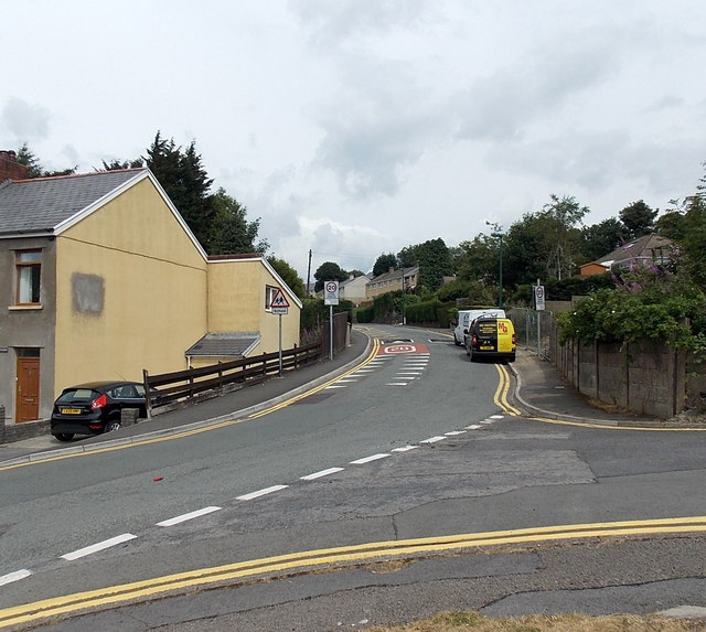
Image: © Jaggery Taken: 26 Jul 2013
The Walk climbs away from the corner of Park View. There is a 20mph speed limit ahead on the approach to Coed y Garn Primary School, Nantyglo.
Images are licensed for reuse under creativecommons.org/licenses/by-sa/2.0
Image Location
Latitude
51.776167
Longitude
-3.162094