Black Horse Pond
Introduction
The photograph on this page of Black Horse Pond by Simon Carey as part of the Geograph project.
The Geograph project started in 2005 with the aim of publishing, organising and preserving representative images for every square kilometre of Great Britain, Ireland and the Isle of Man.

There are currently over 7.5m images from over 14,400 individuals and you can help contribute to the project by visiting https://www.geograph.org.uk
Black Horse Pond
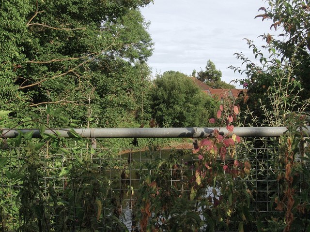
Image: © Simon Carey Taken: 26 Jul 2013
Just about visible beyond the nettles and the metal fence. The current pond was made in 1938 after the construction of the bypass buried the old one underneath the new highway. Its original location was at the junction of High Street and Rogers Lane and was named after the nearby pub.
Images are licensed for reuse under creativecommons.org/licenses/by-sa/2.0
Image Location
Latitude
50.861625
Longitude
-0.407271