St. Helier: Westminster Road
Introduction
The photograph on this page of St. Helier: Westminster Road by Dr Neil Clifton as part of the Geograph project.
The Geograph project started in 2005 with the aim of publishing, organising and preserving representative images for every square kilometre of Great Britain, Ireland and the Isle of Man.

There are currently over 7.5m images from over 14,400 individuals and you can help contribute to the project by visiting https://www.geograph.org.uk
St. Helier: Westminster Road
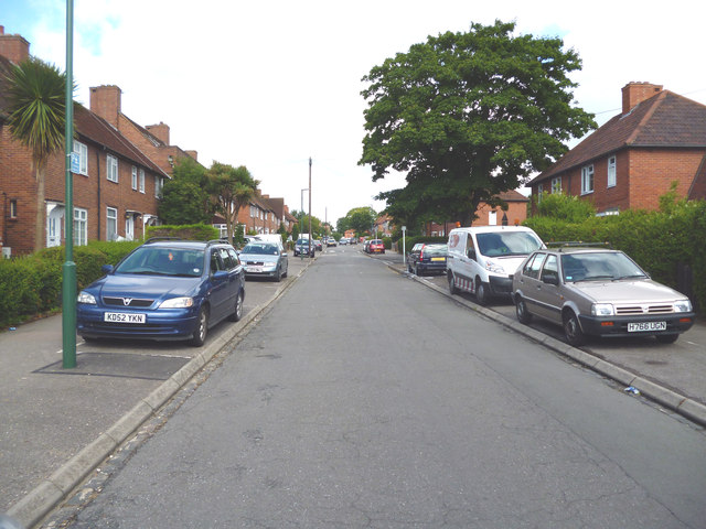
Image: © Dr Neil Clifton Taken: 28 Jul 2013
The inter-war St. Helier council estate was not built with the motor car in mind.
Images are licensed for reuse under creativecommons.org/licenses/by-sa/2.0
Image Location
Latitude
51.376859
Longitude
-0.181249