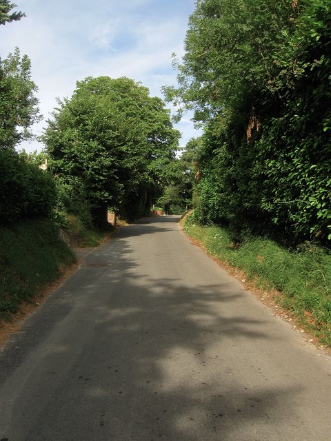
Stable Lane
Introduction
The photograph on this page of Stable Lane by Simon Carey as part of the Geograph project.
The Geograph project started in 2005 with the aim of publishing, organising and preserving representative images for every square kilometre of Great Britain, Ireland and the Isle of Man.
There are currently over 7.5m images from over 14,400 individuals and you can help contribute to the project by visiting https://www.geograph.org.uk

Image: © Simon Carey Taken: 26 Jul 2013
The old eastern route to Steyning from the village of Findon now reduced to the status of byway beyond Downs House. The name itself probably dates from the last half of the 19th century when The Downs racing stables were constructed, prior to that this was all empty downland.

