Braeside Close
Introduction
The photograph on this page of Braeside Close by Simon Carey as part of the Geograph project.
The Geograph project started in 2005 with the aim of publishing, organising and preserving representative images for every square kilometre of Great Britain, Ireland and the Isle of Man.

There are currently over 7.5m images from over 14,400 individuals and you can help contribute to the project by visiting https://www.geograph.org.uk
Braeside Close
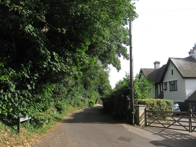
Image: © Simon Carey Taken: 26 Jul 2013
The name of a small cul de sac located off Stable Lane that was developed fairly recently in the grounds of the house on the right called Braeside. The trees on the left are a surviving hedgerow that once separated two fields called Warehouse Field on this side and the north west corner of Soldiers Field beyond.
Images are licensed for reuse under creativecommons.org/licenses/by-sa/2.0
Image Location
Latitude
50.868051
Longitude
-0.403641