New Development, Stable Lane
Introduction
The photograph on this page of New Development, Stable Lane by Simon Carey as part of the Geograph project.
The Geograph project started in 2005 with the aim of publishing, organising and preserving representative images for every square kilometre of Great Britain, Ireland and the Isle of Man.

There are currently over 7.5m images from over 14,400 individuals and you can help contribute to the project by visiting https://www.geograph.org.uk
New Development, Stable Lane
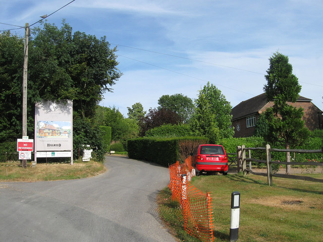
Image: © Simon Carey Taken: 26 Jul 2013
Three mock tudor five bedroomed houses are due to arrive shortly along this little drive in the grounds of Downs Edge, indeed the development will be called Downs Edge Place. Hollybush House is on the right.
Images are licensed for reuse under creativecommons.org/licenses/by-sa/2.0
Image Location
Latitude
50.868399
Longitude
-0.402776