Towards Ashford Chase
Introduction
The photograph on this page of Towards Ashford Chase by Graham Horn as part of the Geograph project.
The Geograph project started in 2005 with the aim of publishing, organising and preserving representative images for every square kilometre of Great Britain, Ireland and the Isle of Man.

There are currently over 7.5m images from over 14,400 individuals and you can help contribute to the project by visiting https://www.geograph.org.uk
Towards Ashford Chase
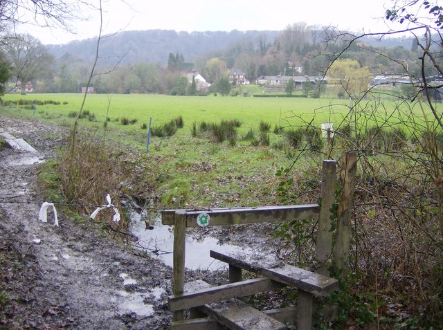
Image: © Graham Horn Taken: 4 Mar 2007
Emerging from woodland north of Steep, the Hangars Way (a Hampshire County Council path from Queen Elizabeth Country Park to Alton) crosses a piece of farmland, with the hangars after which the path is named now visible in the distance.
Images are licensed for reuse under creativecommons.org/licenses/by-sa/2.0
Image Location
Latitude
51.02641
Longitude
-0.941216