A388 near Sillaton
Introduction
The photograph on this page of A388 near Sillaton by Derek Harper as part of the Geograph project.
The Geograph project started in 2005 with the aim of publishing, organising and preserving representative images for every square kilometre of Great Britain, Ireland and the Isle of Man.

There are currently over 7.5m images from over 14,400 individuals and you can help contribute to the project by visiting https://www.geograph.org.uk
A388 near Sillaton
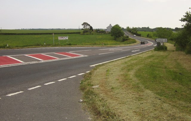
Image: © Derek Harper Taken: 7 Jun 2013
The main road seen from the mouth of the lane past the farms at Sillaton, with a turn to Cargreen and Landulph. The other notice advertises the forthcoming "Cargreen Sale Trail", held a couple of days later.
Images are licensed for reuse under creativecommons.org/licenses/by-sa/2.0
Image Location
Latitude
50.450338
Longitude
-4.256475