Northern boundary sign, Blaina
Introduction
The photograph on this page of Northern boundary sign, Blaina by Jaggery as part of the Geograph project.
The Geograph project started in 2005 with the aim of publishing, organising and preserving representative images for every square kilometre of Great Britain, Ireland and the Isle of Man.

There are currently over 7.5m images from over 14,400 individuals and you can help contribute to the project by visiting https://www.geograph.org.uk
Northern boundary sign, Blaina
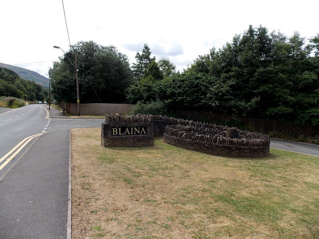
Image: © Jaggery Taken: 26 Jul 2013
On the corner of High Street and the street to Berea Cottages and Berea Close. The stonework includes a spiral path to the centre of the loop. The southern boundary of Nantyglo is on the back. http://www.geograph.org.uk/photo/3572847
Images are licensed for reuse under creativecommons.org/licenses/by-sa/2.0
Image Location
Latitude
51.775425
Longitude
-3.164394