Lerwick Coastguard Station
Introduction
The photograph on this page of Lerwick Coastguard Station by Rude Health as part of the Geograph project.
The Geograph project started in 2005 with the aim of publishing, organising and preserving representative images for every square kilometre of Great Britain, Ireland and the Isle of Man.

There are currently over 7.5m images from over 14,400 individuals and you can help contribute to the project by visiting https://www.geograph.org.uk
Lerwick Coastguard Station
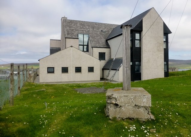
Image: © Rude Health Taken: 31 May 2013
An OS Surface Block around the back of the coastguard centre with Tricky Speirs. Name: Lerwick Coastguard Station Hill number: 104107 Height: 41m / 135ft Area: 22: Shetland Islands Class: 0 Grid ref: HU478407 (est) Drop: 34m Col: 7m
Images are licensed for reuse under creativecommons.org/licenses/by-sa/2.0
Image Location


Leaflet Map data © OpenStreetMap
Latitude
60.149089
Longitude
-1.141325