Pedestrian Walkway, Upper Burnside, Aviemore
Introduction
The photograph on this page of Pedestrian Walkway, Upper Burnside, Aviemore by Mike Pennington as part of the Geograph project.
The Geograph project started in 2005 with the aim of publishing, organising and preserving representative images for every square kilometre of Great Britain, Ireland and the Isle of Man.

There are currently over 7.5m images from over 14,400 individuals and you can help contribute to the project by visiting https://www.geograph.org.uk
Pedestrian Walkway, Upper Burnside, Aviemore
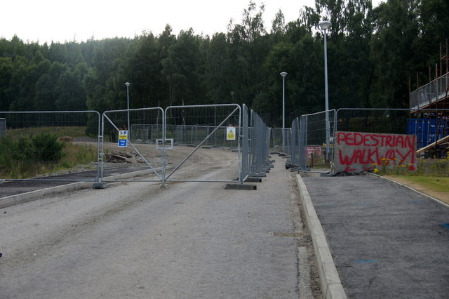
Image: © Mike Pennington Taken: 20 Jul 2013
With an area fenced off for future development, access to the forest is currently between two fences.
Images are licensed for reuse under creativecommons.org/licenses/by-sa/2.0
Image Location


Leaflet Map data © OpenStreetMap
Latitude
57.203871
Longitude
-3.835852