Ivy Arch Close
Introduction
The photograph on this page of Ivy Arch Close by Simon Carey as part of the Geograph project.
The Geograph project started in 2005 with the aim of publishing, organising and preserving representative images for every square kilometre of Great Britain, Ireland and the Isle of Man.

There are currently over 7.5m images from over 14,400 individuals and you can help contribute to the project by visiting https://www.geograph.org.uk
Ivy Arch Close
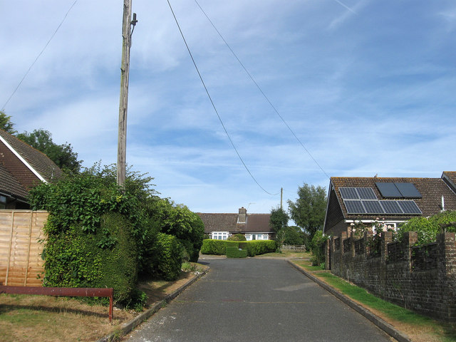
Image: © Simon Carey Taken: 26 Jul 2013
The name of the cul de sac off Stable Lane that was developed on the site of a former riding school of the same name whose entrance was via an ivy covered arch.
Images are licensed for reuse under creativecommons.org/licenses/by-sa/2.0
Image Location
Latitude
50.868921
Longitude
-0.40148