Smartened up
Introduction
The photograph on this page of Smartened up by Neil Owen as part of the Geograph project.
The Geograph project started in 2005 with the aim of publishing, organising and preserving representative images for every square kilometre of Great Britain, Ireland and the Isle of Man.

There are currently over 7.5m images from over 14,400 individuals and you can help contribute to the project by visiting https://www.geograph.org.uk
Smartened up
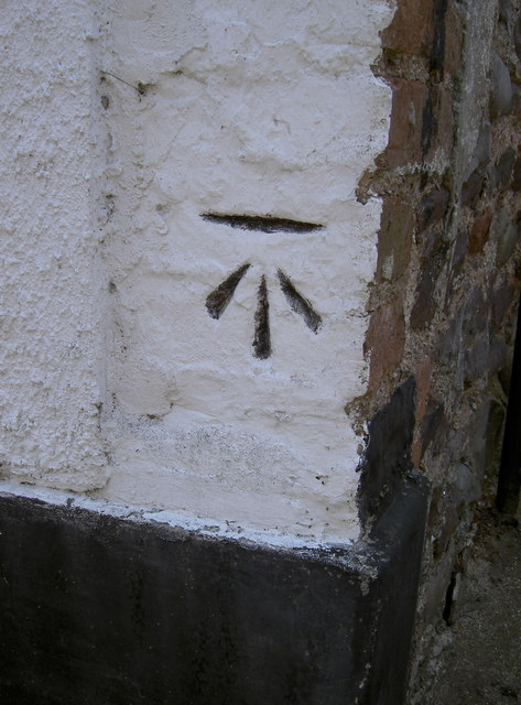
Image: © Neil Owen Taken: 25 Jun 2013
A cut benchmark in a house wall along Church Steps. See Image] for a wider view and http://www.bench-marks.org.uk/bm50329 for the entry in the Benchmark Database.
Images are licensed for reuse under creativecommons.org/licenses/by-sa/2.0
Image Location
Latitude
51.209769
Longitude
-3.480486