View east along the B1285
Introduction
The photograph on this page of View east along the B1285 by Robert Graham as part of the Geograph project.
The Geograph project started in 2005 with the aim of publishing, organising and preserving representative images for every square kilometre of Great Britain, Ireland and the Isle of Man.

There are currently over 7.5m images from over 14,400 individuals and you can help contribute to the project by visiting https://www.geograph.org.uk
View east along the B1285
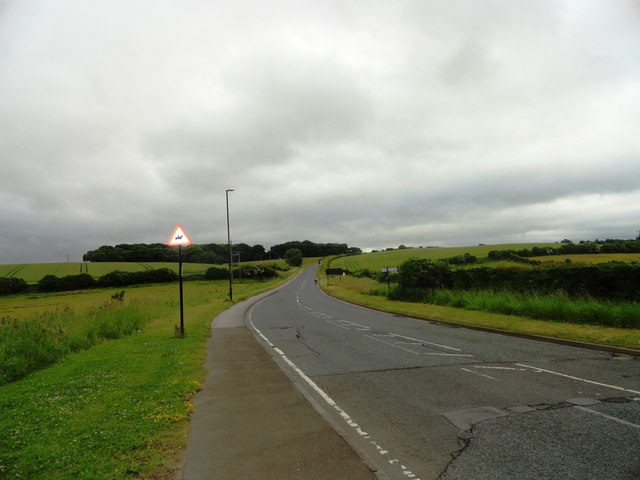
Image: © Robert Graham Taken: 3 Jul 2013
At the south east side of Hetton-le-Hole. This road continues along from Colliery Lane towards Murton. Grotto Plantation on the left.
Images are licensed for reuse under creativecommons.org/licenses/by-sa/2.0
Image Location
Latitude
54.815552
Longitude
-1.435571