Footpath to High Street
Introduction
The photograph on this page of Footpath to High Street by Simon Carey as part of the Geograph project.
The Geograph project started in 2005 with the aim of publishing, organising and preserving representative images for every square kilometre of Great Britain, Ireland and the Isle of Man.

There are currently over 7.5m images from over 14,400 individuals and you can help contribute to the project by visiting https://www.geograph.org.uk
Footpath to High Street
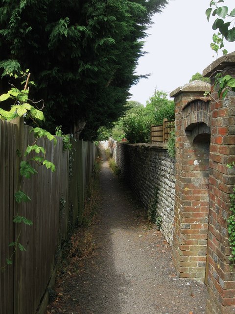
Image: © Simon Carey Taken: 20 Jul 2013
Linking the main village street with Cross Lane. The path still follows its ancient course which was once defined by field boundaries rather than houses.
Images are licensed for reuse under creativecommons.org/licenses/by-sa/2.0
Image Location
Latitude
50.866749
Longitude
-0.407096