Kennington Park Lake
Introduction
The photograph on this page of Kennington Park Lake by Glyn Baker as part of the Geograph project.
The Geograph project started in 2005 with the aim of publishing, organising and preserving representative images for every square kilometre of Great Britain, Ireland and the Isle of Man.

There are currently over 7.5m images from over 14,400 individuals and you can help contribute to the project by visiting https://www.geograph.org.uk
Kennington Park Lake
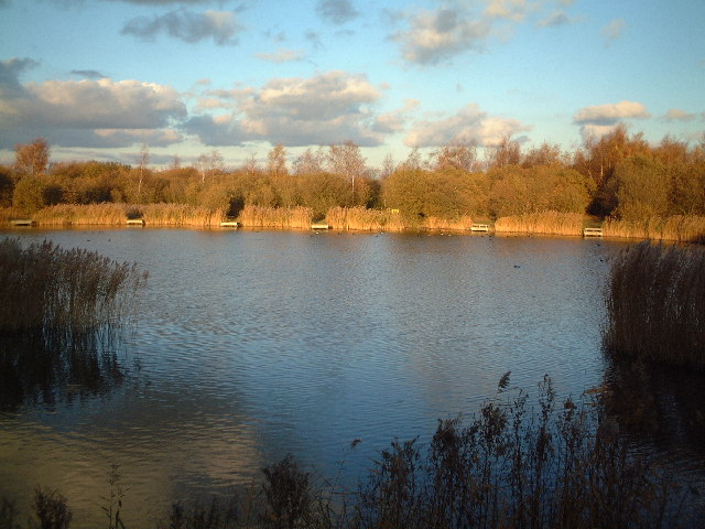
Image: © Glyn Baker Taken: 16 Nov 2003
The flooded gravel pit shown and its environs have during the past ten years been remodelled into a country park for recreation. This is part of Thames Chase community forest.
Images are licensed for reuse under creativecommons.org/licenses/by-sa/2.0
Image Location
Latitude
51.509126
Longitude
0.245105