A16 Junctions
Introduction
The photograph on this page of A16 Junctions by Julian P Guffogg as part of the Geograph project.
The Geograph project started in 2005 with the aim of publishing, organising and preserving representative images for every square kilometre of Great Britain, Ireland and the Isle of Man.

There are currently over 7.5m images from over 14,400 individuals and you can help contribute to the project by visiting https://www.geograph.org.uk
A16 Junctions
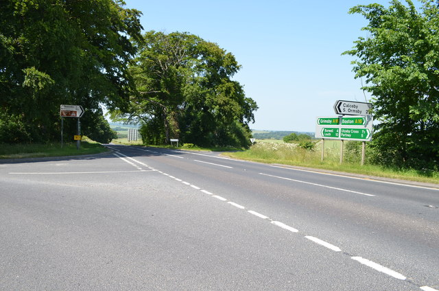
Image: © Julian P Guffogg Taken: 7 Jul 2013
Located about 10 miles south east of Louth, it is actually a 5 way junction here, as the road to Driby is behind and to the left of the photographer.
Images are licensed for reuse under creativecommons.org/licenses/by-sa/2.0
Image Location
Latitude
53.255923
Longitude
0.094908