Right turn for Coalbrookvale, Nantyglo
Introduction
The photograph on this page of Right turn for Coalbrookvale, Nantyglo by Jaggery as part of the Geograph project.
The Geograph project started in 2005 with the aim of publishing, organising and preserving representative images for every square kilometre of Great Britain, Ireland and the Isle of Man.

There are currently over 7.5m images from over 14,400 individuals and you can help contribute to the project by visiting https://www.geograph.org.uk
Right turn for Coalbrookvale, Nantyglo
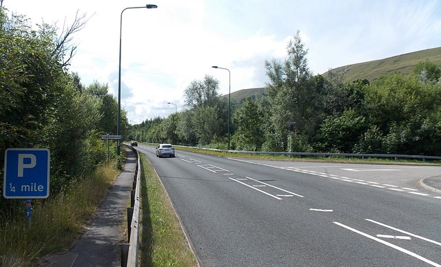
Image: © Jaggery Taken: 26 Jul 2013
Viewed across the A467 at the western edge of Nantyglo. The path on the left is part of National Cycle Network route 465.
Images are licensed for reuse under creativecommons.org/licenses/by-sa/2.0
Image Location
Latitude
51.778234
Longitude
-3.171279