Potato field near Wayton
Introduction
The photograph on this page of Potato field near Wayton by Derek Harper as part of the Geograph project.
The Geograph project started in 2005 with the aim of publishing, organising and preserving representative images for every square kilometre of Great Britain, Ireland and the Isle of Man.

There are currently over 7.5m images from over 14,400 individuals and you can help contribute to the project by visiting https://www.geograph.org.uk
Potato field near Wayton
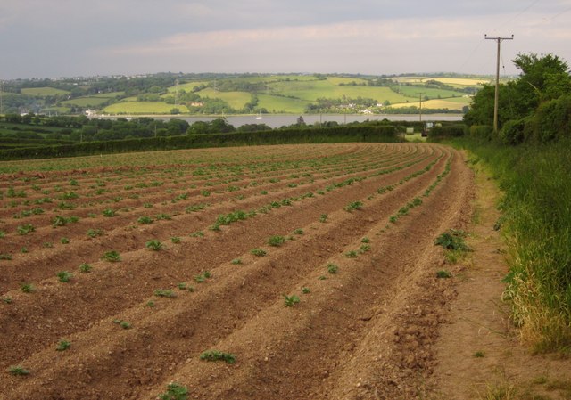
Image: © Derek Harper Taken: 7 Jun 2013
Footpath 610/9/1 runs along the edge of this field, formerly pasture. Ahead is the Tamar estuary, with sunlit Devon beyond.
Images are licensed for reuse under creativecommons.org/licenses/by-sa/2.0
Image Location
Latitude
50.445624
Longitude
-4.221036