St Andrews Church
Introduction
The photograph on this page of St Andrews Church by Mat Tuck as part of the Geograph project.
The Geograph project started in 2005 with the aim of publishing, organising and preserving representative images for every square kilometre of Great Britain, Ireland and the Isle of Man.

There are currently over 7.5m images from over 14,400 individuals and you can help contribute to the project by visiting https://www.geograph.org.uk
St Andrews Church
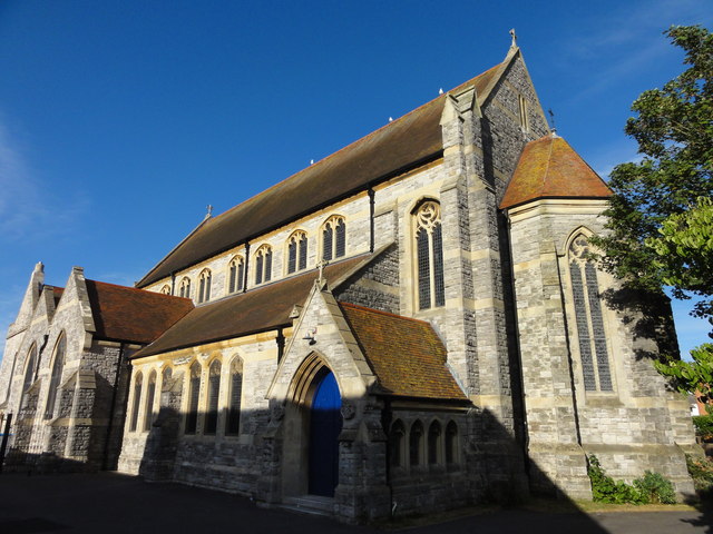
Image: © Mat Tuck Taken: 26 Jul 2013
The South Cross is an Ordnance Survey Triangulation point, http://www.trigpointinguk.com/trigs/trig-details.php?t=9332
Images are licensed for reuse under creativecommons.org/licenses/by-sa/2.0
Image Location
Latitude
50.73365
Longitude
-1.8591