Brea Village
Introduction
The photograph on this page of Brea Village by Tony Atkin as part of the Geograph project.
The Geograph project started in 2005 with the aim of publishing, organising and preserving representative images for every square kilometre of Great Britain, Ireland and the Isle of Man.

There are currently over 7.5m images from over 14,400 individuals and you can help contribute to the project by visiting https://www.geograph.org.uk
Brea Village
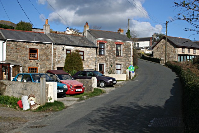
Image: © Tony Atkin Taken: 3 Mar 2007
Brea is a mining village in the Red River Valley which is separated from the nearby conurbation by a railway embankment over the valley through which there is only a narrow single track road tunnel.
Images are licensed for reuse under creativecommons.org/licenses/by-sa/2.0
Image Location


Leaflet Map data © OpenStreetMap
Latitude
50.216519
Longitude
-5.274417