Former Outbuildings, Roger's Farm
Introduction
The photograph on this page of Former Outbuildings, Roger's Farm by Simon Carey as part of the Geograph project.
The Geograph project started in 2005 with the aim of publishing, organising and preserving representative images for every square kilometre of Great Britain, Ireland and the Isle of Man.

There are currently over 7.5m images from over 14,400 individuals and you can help contribute to the project by visiting https://www.geograph.org.uk
Former Outbuildings, Roger's Farm
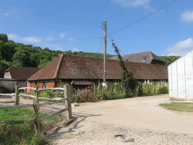
Image: © Simon Carey Taken: 20 Jul 2013
The old barns and stables once belonging to the farm were converted a few years ago to a mixture of residential and business use. The low building in the foreground is now The coach House whilst the roof of the Old Barn can be seen beyond. The capped well which once supplied the farm with water still lies in the centre of the forecourt.
Images are licensed for reuse under creativecommons.org/licenses/by-sa/2.0
Image Location
Latitude
50.858153
Longitude
-0.409805