Barley field at Middlewood
Introduction
The photograph on this page of Barley field at Middlewood by Philip Halling as part of the Geograph project.
The Geograph project started in 2005 with the aim of publishing, organising and preserving representative images for every square kilometre of Great Britain, Ireland and the Isle of Man.

There are currently over 7.5m images from over 14,400 individuals and you can help contribute to the project by visiting https://www.geograph.org.uk
Barley field at Middlewood
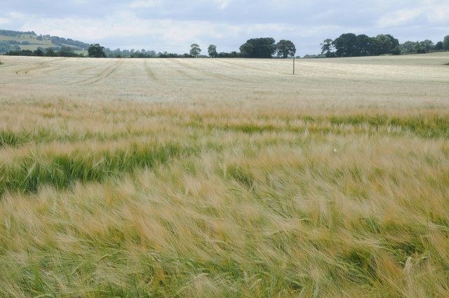
Image: © Philip Halling Taken: 20 Jul 2013
A large field of barley with the crop on the verge of turning golden.
Images are licensed for reuse under creativecommons.org/licenses/by-sa/2.0
Image Location


Leaflet Map data © OpenStreetMap
Latitude
52.095384
Longitude
-3.04381