Broomland Four Acres
Introduction
The photograph on this page of Broomland Four Acres by Simon Carey as part of the Geograph project.
The Geograph project started in 2005 with the aim of publishing, organising and preserving representative images for every square kilometre of Great Britain, Ireland and the Isle of Man.

There are currently over 7.5m images from over 14,400 individuals and you can help contribute to the project by visiting https://www.geograph.org.uk
Broomland Four Acres
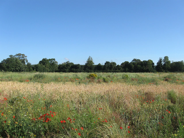
Image: © Simon Carey Taken: 20 Jul 2013
The name of the field according to Clapham's 1843 tithe map that lies in the extreme south west corner of the parish. The field seems to have been left to its own devices being a mixture of a wheat crop and various flowers and weeds.
Images are licensed for reuse under creativecommons.org/licenses/by-sa/2.0
Image Location
Latitude
50.837657
Longitude
-0.423709