Western Part of Frithes
Introduction
The photograph on this page of Western Part of Frithes by Simon Carey as part of the Geograph project.
The Geograph project started in 2005 with the aim of publishing, organising and preserving representative images for every square kilometre of Great Britain, Ireland and the Isle of Man.

There are currently over 7.5m images from over 14,400 individuals and you can help contribute to the project by visiting https://www.geograph.org.uk
Western Part of Frithes
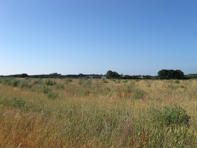
Image: © Simon Carey Taken: 20 Jul 2013
The name of the field according to Goring's 1840 tithe map that has been expanded to include Image to the east. One wonders how long it will be before the westward creep of Worthing's suburbs engulf this field, the newly constructed West Durrington suburb can be seen in the distance.
Images are licensed for reuse under creativecommons.org/licenses/by-sa/2.0
Image Location
Latitude
50.835278
Longitude
-0.42734