Forest Lane
Introduction
The photograph on this page of Forest Lane by Simon Carey as part of the Geograph project.
The Geograph project started in 2005 with the aim of publishing, organising and preserving representative images for every square kilometre of Great Britain, Ireland and the Isle of Man.

There are currently over 7.5m images from over 14,400 individuals and you can help contribute to the project by visiting https://www.geograph.org.uk
Forest Lane
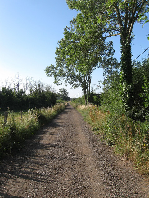
Image: © Simon Carey Taken: 20 Jul 2013
The unmade track provides access to Image and is also a public footpath to Durrington. The track must be of some antiquity as it is used as the parish boundary between Clapham to the left and Goring to the right.
Images are licensed for reuse under creativecommons.org/licenses/by-sa/2.0
Image Location
Latitude
50.838005
Longitude
-0.429521