Kilnhill Road crossing Fry's Bridge over the Leitrim River and rising up to the col
Introduction
The photograph on this page of Kilnhill Road crossing Fry's Bridge over the Leitrim River and rising up to the col by Eric Jones as part of the Geograph project.
The Geograph project started in 2005 with the aim of publishing, organising and preserving representative images for every square kilometre of Great Britain, Ireland and the Isle of Man.

There are currently over 7.5m images from over 14,400 individuals and you can help contribute to the project by visiting https://www.geograph.org.uk
Kilnhill Road crossing Fry's Bridge over the Leitrim River and rising up to the col
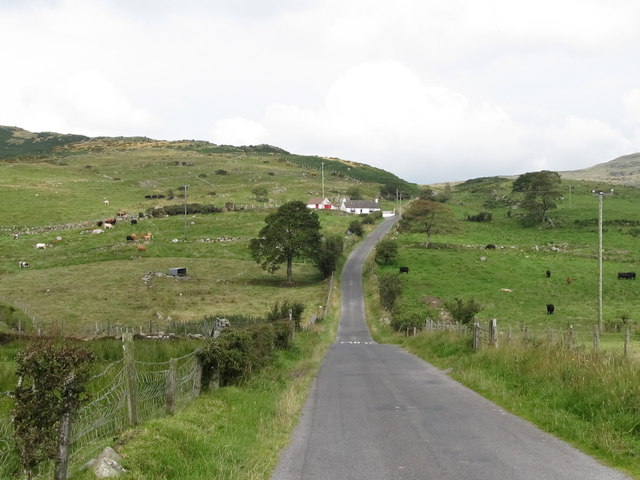
Image: © Eric Jones Taken: 23 Aug 2011
The river here is in its infancy being about a mile from its source. The river enters the sea, as the Corrigs River, in Dundrum Inner Bay.
Images are licensed for reuse under creativecommons.org/licenses/by-sa/2.0
Image Location
Latitude
54.323207
Longitude
-5.995361