Path to Bonhill Bridge
Introduction
The photograph on this page of Path to Bonhill Bridge by Lairich Rig as part of the Geograph project.
The Geograph project started in 2005 with the aim of publishing, organising and preserving representative images for every square kilometre of Great Britain, Ireland and the Isle of Man.

There are currently over 7.5m images from over 14,400 individuals and you can help contribute to the project by visiting https://www.geograph.org.uk
Path to Bonhill Bridge
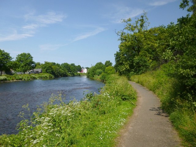
Image: © Lairich Rig Taken: 7 Jul 2013
Compare Image, taken from further along the same path. As in that view, part of Image can be seen at the far left. Further along that side of the Leven is some of the recently-built Image
Images are licensed for reuse under creativecommons.org/licenses/by-sa/2.0
Image Location
Latitude
55.980538
Longitude
-4.575579