Ordnance Survey Bench Mark
Introduction
The photograph on this page of Ordnance Survey Bench Mark by Adrian Dust as part of the Geograph project.
The Geograph project started in 2005 with the aim of publishing, organising and preserving representative images for every square kilometre of Great Britain, Ireland and the Isle of Man.

There are currently over 7.5m images from over 14,400 individuals and you can help contribute to the project by visiting https://www.geograph.org.uk
Ordnance Survey Bench Mark
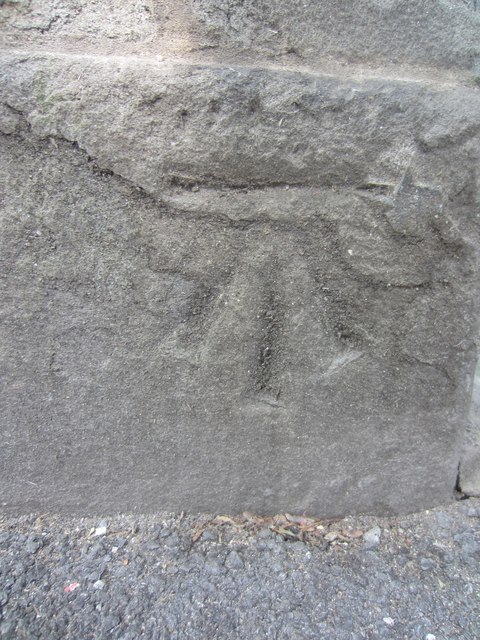
Image: © Adrian Dust Taken: 22 Jul 2013
This OS Bench Mark can be found on a building to the NW of Alexandra Rd. Formerly an 'Institute' building. Not on the OS Database but on the 1899 map. It marks a point 62.1ft (20.4m) above mean sea level.
Images are licensed for reuse under creativecommons.org/licenses/by-sa/2.0
Image Location
Latitude
51.62412
Longitude
-3.943669