Disused farmhouse below Carrivmoragh
Introduction
The photograph on this page of Disused farmhouse below Carrivmoragh by Eric Jones as part of the Geograph project.
The Geograph project started in 2005 with the aim of publishing, organising and preserving representative images for every square kilometre of Great Britain, Ireland and the Isle of Man.

There are currently over 7.5m images from over 14,400 individuals and you can help contribute to the project by visiting https://www.geograph.org.uk
Disused farmhouse below Carrivmoragh
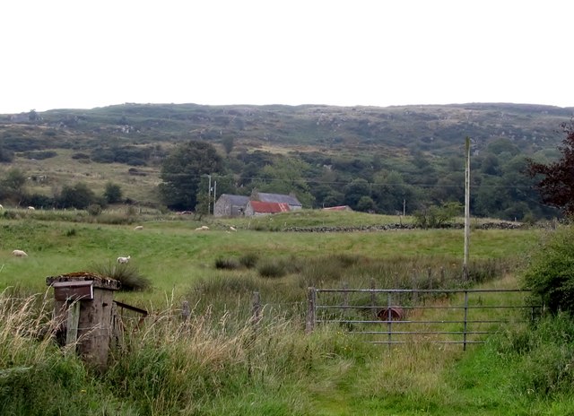
Image: © Eric Jones Taken: 23 Aug 2011
This difficult land to work. Land consolidation has taken place in recent decades leaving many former farmhouses disused.
Images are licensed for reuse under creativecommons.org/licenses/by-sa/2.0
Image Location
Latitude
54.300021
Longitude
-5.989729