Markeaton Golf Course
Introduction
The photograph on this page of Markeaton Golf Course by Richard Webb as part of the Geograph project.
The Geograph project started in 2005 with the aim of publishing, organising and preserving representative images for every square kilometre of Great Britain, Ireland and the Isle of Man.

There are currently over 7.5m images from over 14,400 individuals and you can help contribute to the project by visiting https://www.geograph.org.uk
Markeaton Golf Course
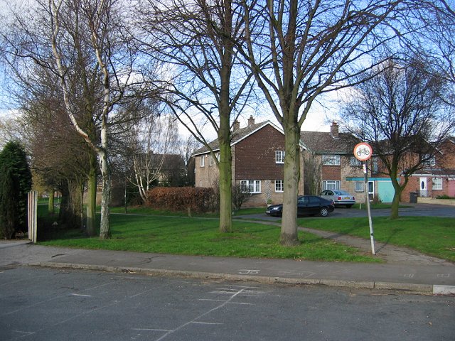
Image: © Richard Webb Taken: 22 Feb 2004
Has not been a golf course for a long time. Now a housing estate. The path with the no cycling sign used to pass a trig point. Long since demolished.
Images are licensed for reuse under creativecommons.org/licenses/by-sa/2.0
Image Location
Latitude
52.941015
Longitude
-1.498318