Glebe Lands
Introduction
The photograph on this page of Glebe Lands by Richard Webb as part of the Geograph project.
The Geograph project started in 2005 with the aim of publishing, organising and preserving representative images for every square kilometre of Great Britain, Ireland and the Isle of Man.

There are currently over 7.5m images from over 14,400 individuals and you can help contribute to the project by visiting https://www.geograph.org.uk
Glebe Lands
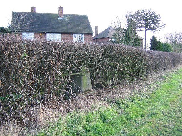
Image: © Richard Webb Taken: 22 Feb 2004
The edge of Derby. The field is sandwiched between the houses and the A38 and must be a target for housing development. Triangulation pillar hidden in the hedge.
Images are licensed for reuse under creativecommons.org/licenses/by-sa/2.0
Image Location
Latitude
52.890278
Longitude
-1.540386