The perimeter of RAF Oakley
Introduction
The photograph on this page of The perimeter of RAF Oakley by Steve Daniels as part of the Geograph project.
The Geograph project started in 2005 with the aim of publishing, organising and preserving representative images for every square kilometre of Great Britain, Ireland and the Isle of Man.

There are currently over 7.5m images from over 14,400 individuals and you can help contribute to the project by visiting https://www.geograph.org.uk
The perimeter of RAF Oakley
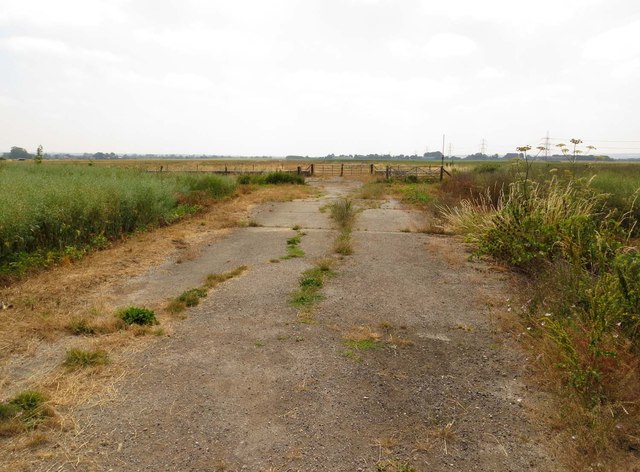
Image: © Steve Daniels Taken: 21 Jul 2013
The airfield was built in 1942, but is now clearly overgrown.
Images are licensed for reuse under creativecommons.org/licenses/by-sa/2.0
Image Location
Latitude
51.79263
Longitude
-1.070835