Cross roads on the A489
Introduction
The photograph on this page of Cross roads on the A489 by Penny Mayes as part of the Geograph project.
The Geograph project started in 2005 with the aim of publishing, organising and preserving representative images for every square kilometre of Great Britain, Ireland and the Isle of Man.

There are currently over 7.5m images from over 14,400 individuals and you can help contribute to the project by visiting https://www.geograph.org.uk
Cross roads on the A489
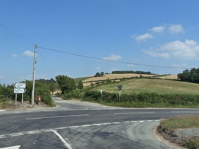
Image: © Penny Mayes Taken: 17 Jul 2013
Farmers have been taking advantage of the extended hot dry spell, stocking up feed for the winter and doubtless hoping we don't get another lengthy one like the last. Literally making hay while the sun shines. The minor road behind me runs along the ridge to Dolfor. The one ahead goes to Llanmerewig. The postbox on the corner looks like it has survived a vehicular collision. I noticed an anemometer on a post near this junction, maybe someone is planning more wind turbines while the subsidies last.
Images are licensed for reuse under creativecommons.org/licenses/by-sa/2.0
Image Location
Latitude
52.508487
Longitude
-3.274736